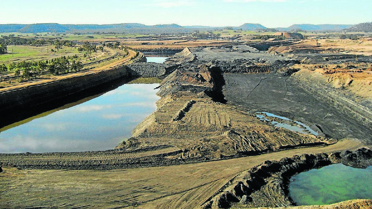
Mining companies in NSW are asked to assist with the creation of an up-to-date map of mining rehabilitation.
Subscribe now for unlimited access.
$0/
(min cost $0)
or signup to continue reading
As part of the NSW Government’s commitment to transparency, the Department of Planning and Environment is requesting the rehabilitation and disturbance records.
“By collating the mining companies’ records, we will be able create an up-to-date and complete record of the impact of mines, and what steps have been taken to rehabilitate old mining sites,” Department of Planning and Environment’s Deputy Secretary of Resources and Geoscience Kylie Hargreaves said.
“The new system will also assist mining companies by eliminating the need to submit annual hard copies of their rehabilitation undertakings.
“Instead, mining companies will simply be able to submit their Rehabilitation Geographic Information System (GIS) data through an online portal.
“That will save the companies money and time, while building a resource that can better track what rehabilitation is being undertaken across the NSW.”
Mining companies are being asked to supply their reports into:
- rehabilitation work they have undertaken;
- disturbance areas as part of their approvals;
- what the land is being used for after mining has ceased;
- the contours of the rehabilitated lands; and
- the boundaries of the mining approval.
“These statistics will allow the NSW Government to get a complete picture of what is happening across the mining areas of NSW and will assist us in better planning for future development,” Ms Hargreaves said.
“It will create a resource that the community can see where mining rehabilitation has been done, where it’s still to be completed or even where it has failed to take hold.
“Over time, this data will also enable the Government to do progressive visualisation, meaning we can show how the current footprint of a mine should be greatly reduced and rehabilitated in 10, 15 or 20 years’ time.”
Once supplied by the miners, the background data will be uploaded by the Department of Planning and Environment and will be made available to respective titleholders and the community when the system development is complete - planned for late-2018.

